From Roomassaare we set our bow towards the Tallinn. Our first plan was to stop at new harbour in the island of Muhu called Lõunaranna. We have heard a lot of good feedback from this marina. The day’s leg was supposed to be only 40 nautical miles so we were in no hurry to leave on Sunday. In the afternoon we cast off in the nice sun shining. The wind was 7 m/s and soon after rising the sails it increased to 10 m/s. As we approached the southern tip of Muhu at 6 in the evening we started to thought about continuing further.
The weather was nice and we decided to continue a little bit further to the harbour of Virtsu in the strait of Suur Väin. We had received previously contradicting information about the water depth of Virtsu harbour. As we approached Virtsu we could not see any sailboat masts there. New decision was made to find a place for anchoring on the northern side of the Muhu island.
We rounded the Muhu island almost at sunset. The evening air temperature was still warm and as we looked into the beautiful sunset we said to each other: Let’s go until Haapsalu. We knew that depth of Haapsalu harbours is 2m depending on conditions. Our draft is 1.9 metres. This means that we might get in or not and it will be dark when we will arrive. We decided to look for anchoring spot in the bay of Haapsalu instead of taking a gamble with the marinas. We’ll anyhow continue early in the morning. The bay of Haapsalu should also offer adequate protection to current wind direction.
Uhhh, what an awful smell! Poor bay, it is smelled like all waste from Haapsalu is dumped straight into the sea. We were ready to drop the hook but no way we could sleep in this sewer. Again we continued ahead.
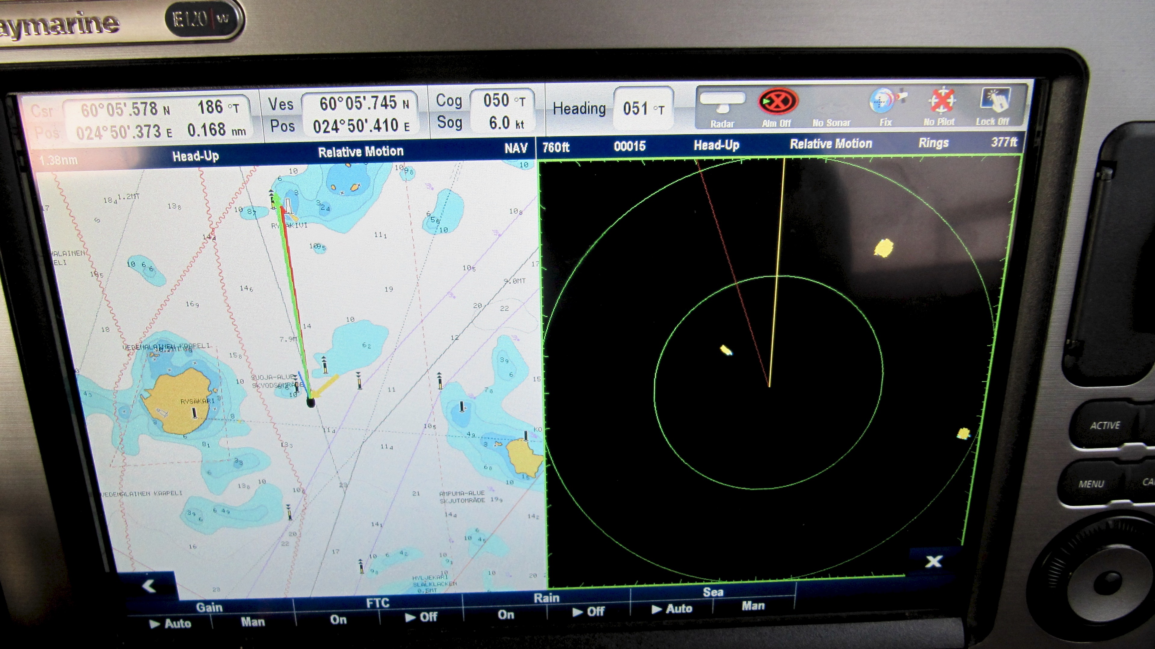
Instead of quick daysail we ended up practising night navigation in pitch black at strait of Voosi kurk. Voosi kurk is located between the island of Vormsi and the continent. The fairway is really narrow and makes several turns. This was the first time Andrus practised radar navigation in complete darkness. In Finland the summertime night navigation is different as the nights are usually bright and many fairways are well lit. Of course we’ve the radar always on while underway. Andrus usually keeps radar image as overlay layer over the chart. Both the boat is turning and because of the changes of deviation and variation the radar image is not always fully aligned with the chart. It is not a problem at open sea because we track the movement of other vessels and they are far away.
We’ve noticed that the ships will become visible in the radar while being 10 to 20 nautical miles away. Sailboats can be detected from 1 to 2 mile distance. But the motorboats and small sailboats can only be seen at 0.5 to 1 nautical mile away. The radar echo from boats can be increased significantly by the radar reflector. With the active radar reflector the sailboat can be visible as far as three nautical miles away. Accordingly in the swell a small sailboat or motorboat will not be seen at all because the radar will filter the echo mixing the signal from the boat with the echos from adjacent big waves. Different bouys and small nautical marks can be seen in radar at most a few cables away, with the waves even less.
For the night navigation Andrus split the chartplotter screen into two windows with the chart and radar images side by side. Andrus zoomed the chart for navigation so that the fairway was visible both forward and backwards. Radar image could be scaled so that maximum details were visible. The radar showed then an area with about one cable radius around Suwena. Both the lit and unlit lateral buoys were visible in the radar. It was so dark that we could see the unlit buoy only as we passed it. Only in real situation in the fog or complete darkness the real value of the radar can be appreciated. The radar usage should be practised in good conditions to be prepared for using all functions available in more demanding situations. The image below is from the Helsinki area because at the Voosi kurk we had more important priorities than photographing 🙂
While still in the strait we considered anchoring after passage but the decision was to continue until the harbour of Dirhami. Also the entrance to Dirhami is narrow and surrounded by underwater rocks. We knew the place beforehand but still the radar was a great help while entering the harbour. We were greatly surprised because at 3 am the harbour guy came to take our lines. He told that they had a party and it was no problem to come to help us at night. We were glad to get some help as we were completely exhausted when we moored her on a tall quay.
The original 40 nautical mile leg kept going and finally the showed 89 miles that included the night navigation practise. After sleeping few hours in Dirhami we continued towards the Tallinn.
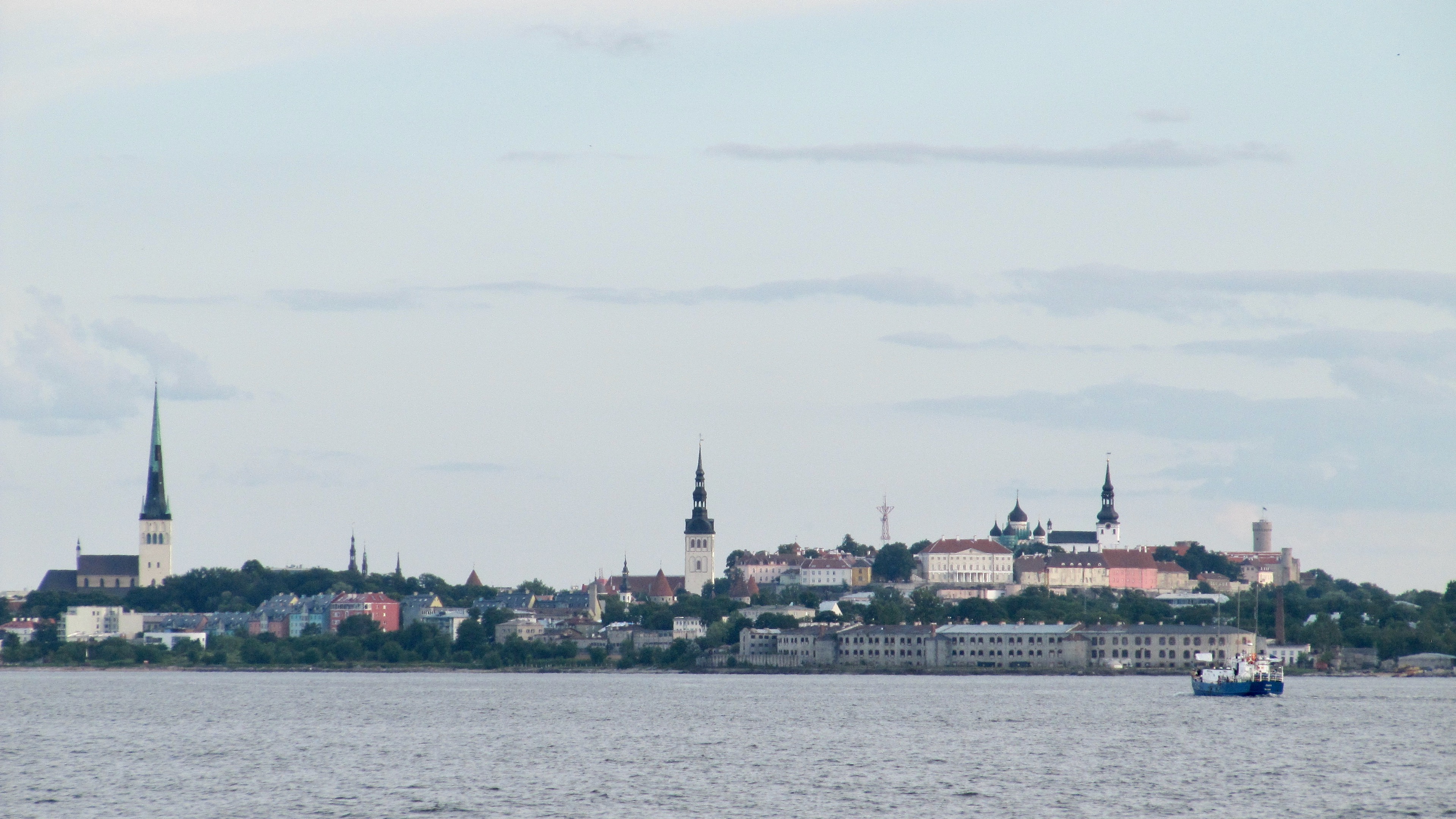
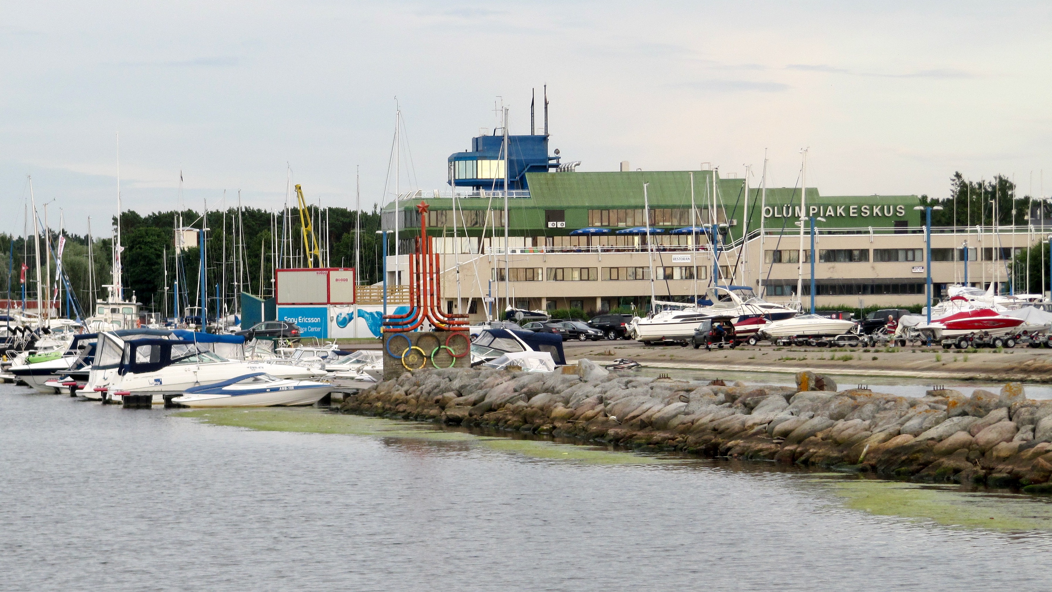
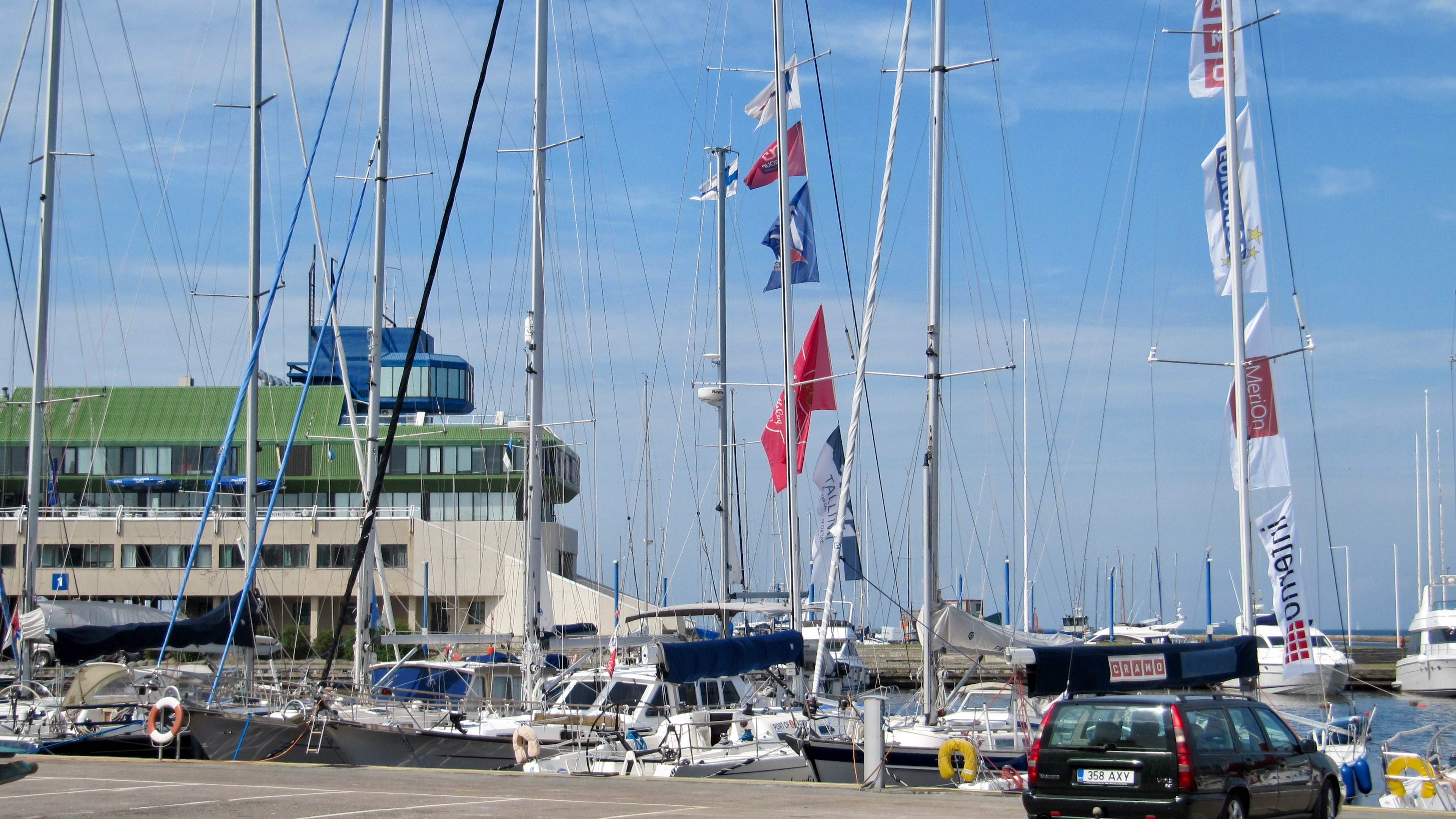
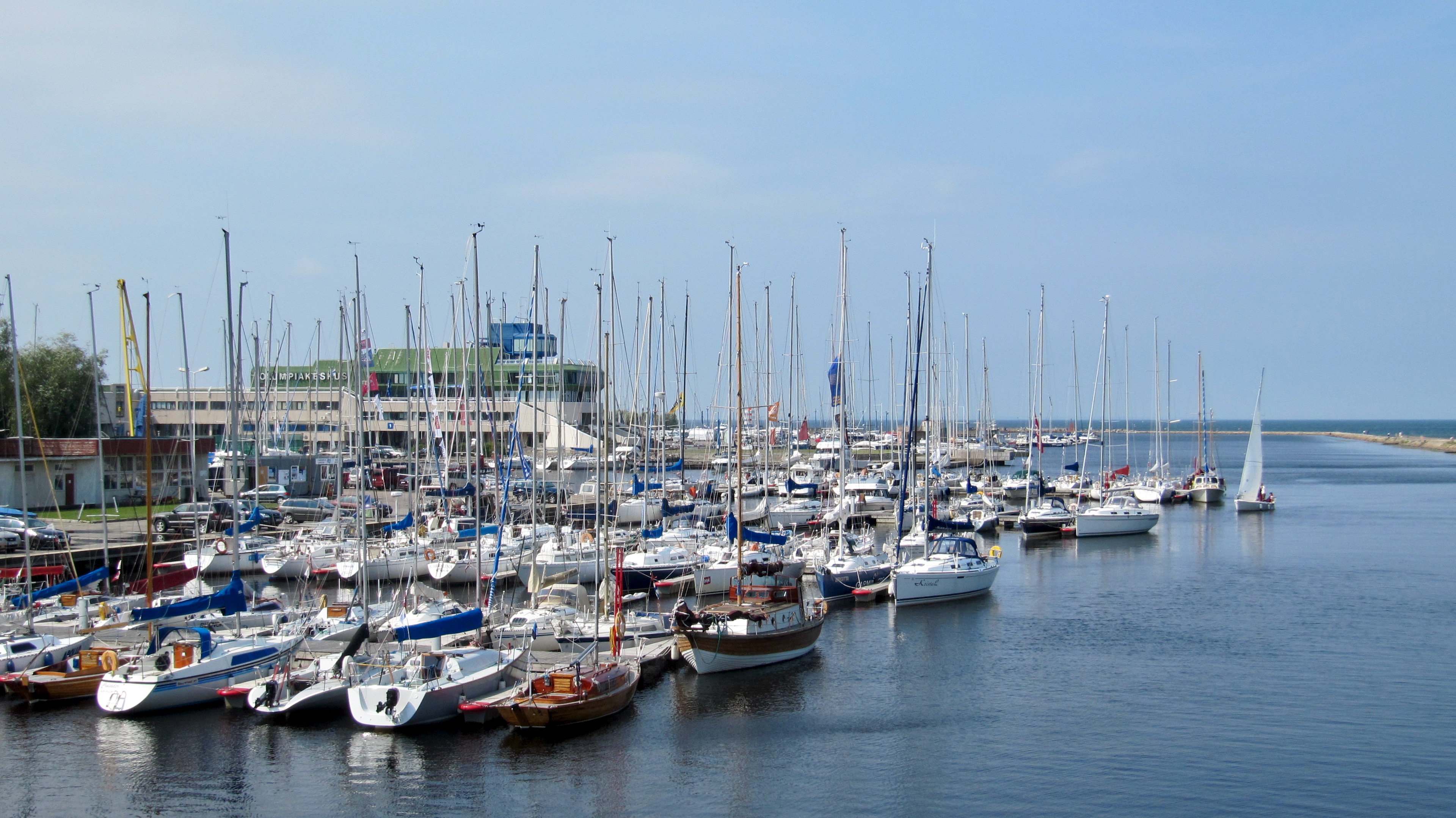
On Monday we wanted to go to the Kalevi Jahtklubi harbour. We have noticed that we enjoy spending time in the local yacht clubs. They are usually places with great athmosphere and many active people. There are three guest harbours in Tallinn. Kalevi Jahtklubi and TOP (Tallinn’s Olympic Center) are located next to each other in the estuary of the river Pirita. There is brand new Old City Marina close to the old town at the end of the ship’s harbour.
Kalevi Jahtklubi was really active dinghy sailing club. Every day several groups of juniors went together with the trainer to the sea for practising. Also the Wednesday sailings were popular. Every Wednesday 30 to 50 yachts participate in the competition. There were also enthusiastic offshore sailors that participate in competitions around the Baltic sea.
Our days in Tallinn passed a way too quickly. It felt good after long time to spent time together with relatives of Andrus. Time passed quickly and soon was again time to plan the next leg towards Helsinki.